Missing Link, Snipe, Cross Bay, Long Island Lake
BOUNDARY WATERS CANOE ROUTE – Long Island “Loop”
BWCAW Entry Point: 51 Missing Link or 50 Cross Bay Lake
Minimum Trip Length 3 Days
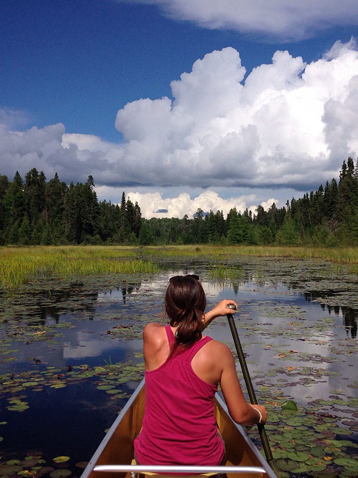
This is a great route for folks who like to travel on small lakes and don’t mind portaging a bit! This route is not known for fishing, but you could set up a basecamp on Long Island Lake and do a couple of days of fishing if you wanted! Starting out with two rocky portages out of Round and Missing Link Lake, you’ll head into Snipe. Snipe is a scenic lake with a couple of beautiful campsites. Then, head from Snipe into Cross Bay Lake. Cross Bay is a shallow and mucky lake, but in late June through July you can find if filled with water lilies. You are likely to see a busy beaver or two on this lake as well, and be prepared to get out of your canoe once or twice to lift over a beaver dam. From here you will head south through Rib, Lower George, and Karl Lakes. We recommend taking the flat easy portage from Karl into Long Island Lake. At the end you’ll be treated to a sandy beach landing, perfect for a post-portage swim. Head to your campsite and be sure to ask Matt or Cassidy about their favorite campsite on Long Island Lake. We reccomend spending 2 or more nights here if you have the time!
When you’ve had your fill of beautiful Long Island Lake, retrace your paddle back to Cross Bay Lake, and then head north into Ham Lake. You may recognize this lake’s name as it was the origin of the May 2007 Ham Lake Fire. The fire started at the Northwest campsite on Ham, and you can still see the pinpoint origin of the burn today. Despite this, there are some awesome campsites on Ham and it is a great place to spend your last night. Just note that these campsite are technically outside of the BWCAW. The next morning, take the short portage from Ham into Oriole Lake. Then, you’ll take a second longer staircase portage into the Cross River, where you will find your takeout point.
This route can also be completed in reverse. Guests can either plan to take a shuttle both ways to the entry and exit point, or we can organize to help your group drop your vehicles at your exit point to be waiting for you at the end of your trip!
BWCA Maps Needed:
- Fisher Maps: F-12
- McKenzie Maps M7
- Voyageur Map 6
Fast Facts:
| Lake | DNR # | Fish Species | Maximum Depth | Acres | Elevation | Campsites |
|---|---|---|---|---|---|---|
| Round | 16060600 | Walleye, Smallmouth Bass, Northern Pike | 45 | 154.48 | 1744 | 0 |
| Missing Link | 16052900 | Brook Trout, Sucker | 25 | 37.34 | unknown | 3 |
| Snipe | 16052700 | Unkown | 90 | 114.5 | unknown | 4 |
| Rib | 16054400 | unkown | unknown | 81.6 | unknown | 1 |
| Lower George | 16054600 | unkwon | unknown | 16.5 | unknown | 0 |
| Karl | 16046100 | Northern Pike, Sucker | 70 | 121.12 | unknown | 2 |
| Long Island | 16046000 | Lake trout, Pike, Sucker, Perch | 85 | 883.53 | unknown | 14 |
| Cross Bay | 16052600 | unkown | 15 | 51.8 | unknown | 2 |
| Ham | 16060800 | Northern Pike, Walleye, Smallmouth Bass, Sucker, Perch | 40 | 120 | unknown | 4 (Outside BWCA) |
| Cross River | n/a | unknown | unknown | unknown | unknown | 0 |